
Gary Neighbors in Public Records
Public sources describe a Gary block in layers. The parcel map supplies boundaries and title fields. The assessor adds an owner, mailing address, property number, and details. Election tools identify a known voter’s status and precinct, but they do not publish a street-wide roster. Zoning notices can name nearby owners for a specific proceeding. Civic groups publish meeting and contact details, not lists of every nearby household.
| Gary block source | What it can show | How to reach it |
|---|---|---|
| Lake County GIS parcels | Boundaries, situs and mailing fields, owner, ZIP, township, legal description, and office links | Free map or REST query; current layer |
| Assessor DataOnly | Owner, address, property number, map, detail, and services | Free, with 25/50/75 result paging |
| Recorder records | Recorded owners and instruments for a selected parcel | Login, counter, phone, or written request; cutoff unknown |
| Indiana Voters and precinct maps | Known-person status and current precinct geography | Person match online; file requests have limits |
| Gary zoning notices | Owners within 400 feet for certain notices | City notice page or request for the specific matter |
| Civic organizations | Public meetings, contacts, projects, and neighborhood identity | Organization pages; no general resident roster |
Owner and occupant are not synonyms. A title holder may receive mail elsewhere, and people who live at a parcel may never appear in title data. Treat owner names as parcel facts. Confirm any claim about your neighbors with another lawful source and a clear date.
Map Your Gary Neighbors
The Lake County parcel service supports address and PARCELID queries, map browsing, geometry or distance searches, pagination, and exports. A parcel polygon is the mapped shape of a tax parcel. It is useful for finding nearby records, but the county states that the layer is not a survey or legal description. A lot across an alley may be close in space without sharing the same block context.
- Find the target address in the Parcel Viewer or query the parcel service by address or PARCELID.
- Save its parcel ID, situs, municipality, township, ZIP, and legal description before moving outward.
- Browse the touching polygons or run a small geometry or distance query, then return each nearby parcel’s attributes.
- Compare street, alley, lot, and block lines with a plat or Sanborn map. Do not merge separate owners into one household.
- Open a selected parcel’s RecorderLink, AssessorLink, or TreasurerLink only when that office’s record answers the question.
The parcel attributes create a useful three-office handoff. The recorder deals with recorded instruments, the assessor with valuation and parcel facts, and the treasurer with the tax account. The links do not make those systems one database. For a whole named road rather than the immediate block, use the Gary street directory workflow.
Read Gary Parcel Fields Carefully
The 400-26 Broadway sample shows why address labels must stay apart. The situs is in Gary, while the owner mailing address is in Crown Point. The same record also carries a parcel ID, tax-set description, municipality, township, legal description, acreage, and links to three county offices. A mailing field can point to a government office, trust, agent, or another parcel. It is not proof that an owner lives there.
| Field | Safe reading |
|---|---|
| Situs address | The physical parcel location |
| Mailing address | The destination for owner correspondence |
| PARCELID | The stable key for county parcel systems |
| Legal description | The land description used to confirm the correct lot |
| Owner field | The deeded owner shown in the current layer, not a household list |
Compare these fields before assigning a person to the block. Even a matching name and street can belong to a mailing contact rather than a resident.
Gary Neighbors and Precinct Lines
Indiana Voters checks a known person using first name, last name, date of birth, and county. It can lead to status, polling place, and ballot information. It is not a public block browser. A full computerized voter file follows a separate state or county request process, with public-record limits and protected information removed. Contact the Lake County Election Board at 219-755-3795 before quoting any file format or fee.
The Lake County precinct-map page pictured here groups current maps for Gary’s first through sixth precinct areas.
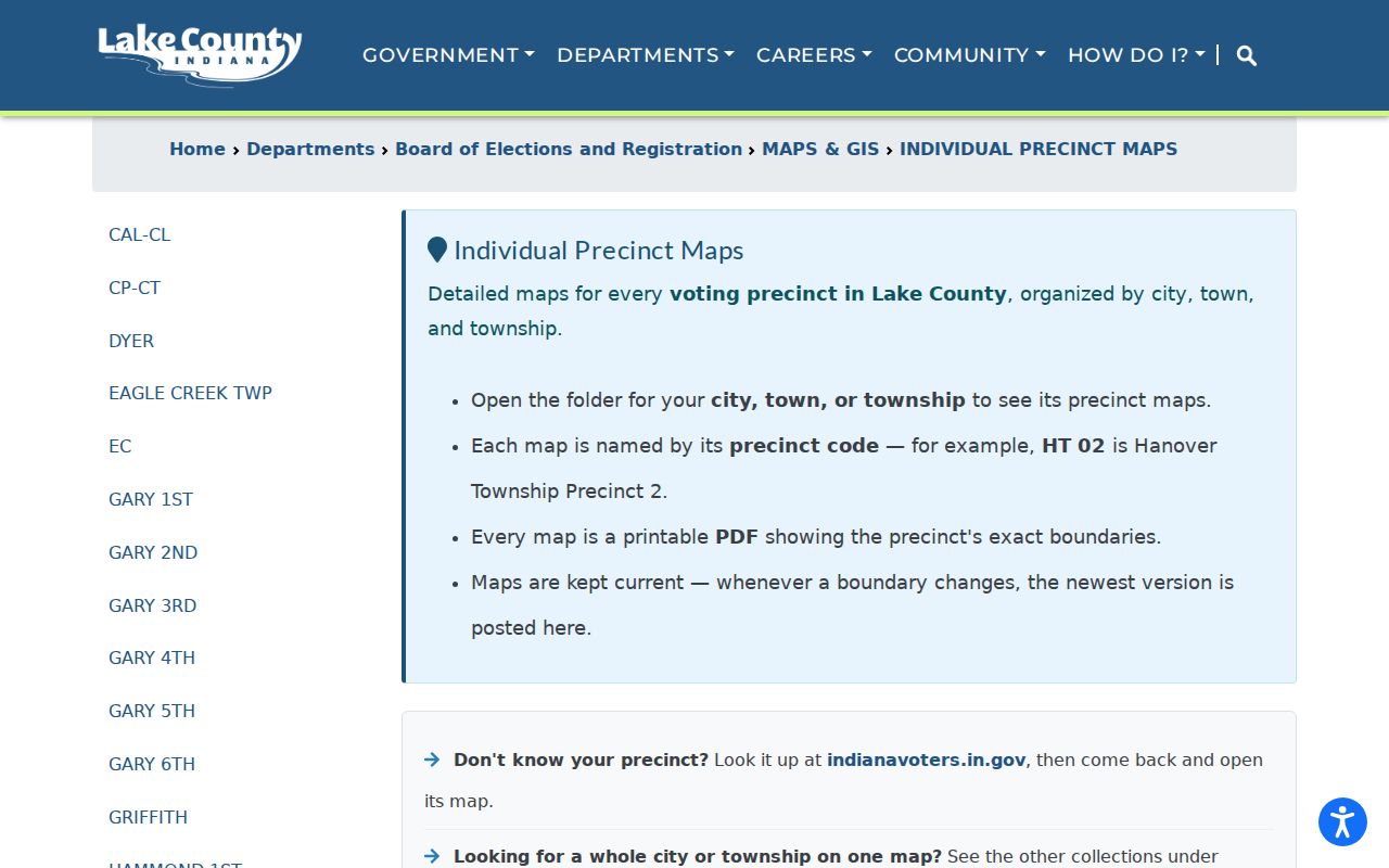
Precinct boundaries change. The maps locate election geography; they do not show registration counts or every person on a block.
Meet Gary Neighborhood Contacts
Gary has useful public community channels, but research found no official citywide association or HOA directory. Use the documented groups as contacts for meetings, projects, and local context. Do not treat them as complete lists of Gary neighbors or infer membership from a nearby address.
Miller Citizens Corporation
Miller neighborhood contact and meetings. PO Box 2645, Gary, IN 46403; 219-781-5953. Meetings are listed for the second Monday at Marquette Methodist.
Love Your Block
City mini-grant and community projects in Glen Park, Midtown, and Black Oak. Public contact: lyb@gary.gov.
Broadway Main Street
Downtown Broadway, Midtown Broadway, and Uptown/Glen Park civic connections. Public organization history is available, but no resident roster was observed.
The Miller Citizens Corporation page shown here illustrates a public meeting and contact source rather than a household directory.
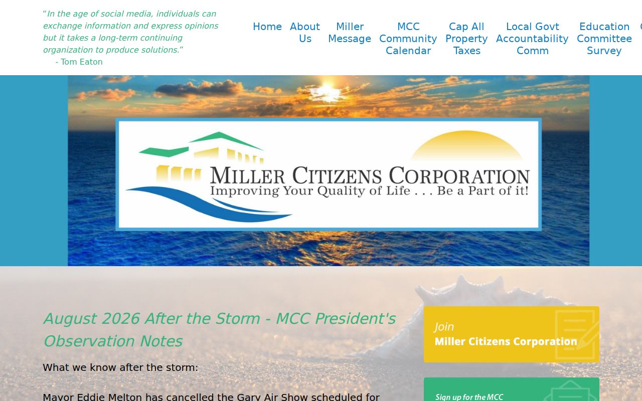
A phone number, meeting date, or program boundary can help someone connect with the community while keeping private membership information private.
Gary Notices Describe Nearby Parcels
Gary Zoning says certain matters may require names and addresses for every property owner within 400 feet. That is a rare block-level record, but it belongs to the specific notice. It should not be turned into a general list of who lives nearby. Read the hearing date, applicant, parcel or legal description, proposal, and owner-notice context before drawing any conclusion.
Gary 311 accepts an address of issue, department or type, description, optional photo, and contact details. It is a service-request form, not a public history of everyone who reported a concern. Code Enforcement also describes address-based inspections and citations, yet no public historic case browser was verified. Use an Indiana Access to Public Records Act request for a reasonably particular record, date range, and address when the city page cannot answer the question.
The Gary public-notices page pictured here is the official place to inspect current notice documents.
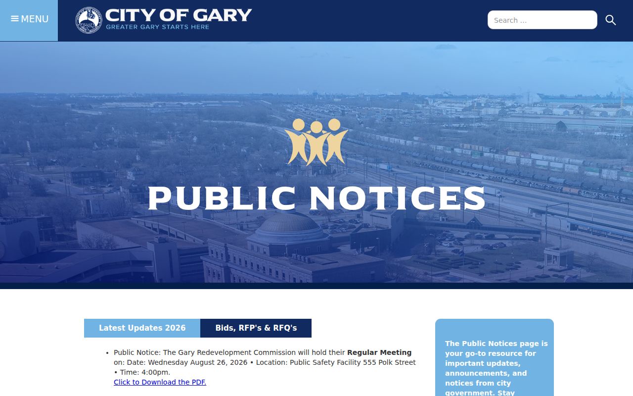
Notice records provide civic context around a block. They do not prove that each named owner is a current resident.
Midtown Adds Current Gary Context
Gary’s 2026 Cultural Main Street designation for the Midtown Broadway corridor adds a dated community layer to a street already represented in city and archive material. Public district news can identify project boundaries, organizations, and meeting points. It still does not create a resident list. Use the designation to understand the civic setting of a parcel, then return to GIS and assessor records for parcel facts.
The City of Gary announcement pictured here records that current district development.

Historic maps, directories, and newspapers can then show how the same corridor and its neighbors changed over time.
Choose Reliable Gary Neighbor Sources
Official sources and commercial neighbor tools are built for different ends. County and city records identify their custodian, date, and field meaning. Commercial compilations may merge address associations from many dates. They can be stale, incomplete, or attached to the wrong person, so they should never replace the original parcel, deed, precinct, or notice record.
| Source type | Strength | Main limit |
|---|---|---|
| Official parcel and assessor data | Traceable fields, parcel ID, current county context | Owners are not all occupants |
| Official notices and precinct maps | Dated civic or geographic record | Purpose-specific, not a household directory |
| Commercial compilation | May suggest an association to check | Unknown merges, stale dates, and unclear provenance |
Protect Privacy of Gary Neighbors
Household members absent from a public record, utility customers, DMV addresses, sealed court or vital material, and private association rosters stay outside a lawful block search. Indiana’s Address Confidentiality Program provides substitute-address handling for eligible people. Voter names, addresses, phone numbers, and identifying details covered by that program are confidential except under narrow legal process. Never use an old directory or parcel trail to defeat that protection.
A public owner name also does not justify publishing a private profile. Check source dates, keep the scope to a parcel or civic issue, and contact an organization through its public channel. If a record seems wrong, ask the original custodian about its correction process.
Lawful use. Look up Gary neighbors for civic awareness, reconnecting, or personal safety. Never use address records to watch, intimidate, harass, or harm anyone.